When floods in Pakistan washed away roads and made travel treacherous, authorities asked for help from the EU Civil Protection Mechanism. Guided by the EU’s satellite maps, Finnish logistics expert Juuso Nummela helped ensure life-saving aid arrived where it was needed most.
In 2022, disaster struck when record-breaking floods devastated Pakistan.
Heavy rains in the country caused landslides, ruined crops, disrupted water systems and left 2.2 million houses damaged or destroyed. The rains displaced nearly 8 million people and the cost of destruction is estimated to be over €13 billion.
Pakistan asked for help and the EU answered. We mobilised over €30 million in EU emergency humanitarian aid, while 10 European countries offered assistance - tents, water purification modules, generators, hygiene kits, doctors, medical supplies and more - through the EU Civil Protection Mechanism.
Getting everything where it was needed in a country with roads and bridges washed away was a vital task. Finland was among countries that sent experts to reinforce the EU Civil Protection team on the ground.

were displaced

offered assistance

in EU emergency humanitarian aid was sent
Getting supplies to people in need
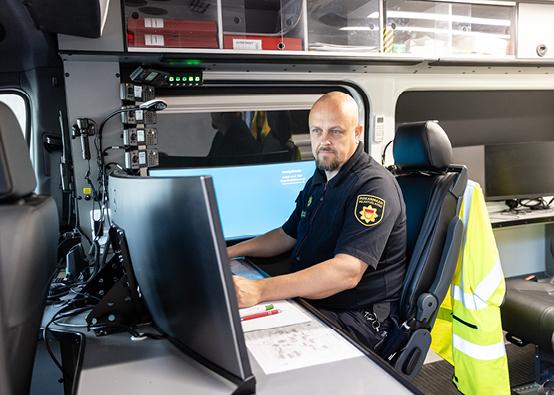
The EU’s Emergency Response Coordination Centre (ERCC) coordinated the aid offers, and EU experts like from Finland made sure resources arrived where they were needed most.
For Nummela to do his job, he needed to know through which areas he could send equipment and where was still badly flooded. He used flood maps from the EU’s Copernicus Emergency Management Service (CEMS) to see where was flooded and where was safe to travel.
“We arranged transportation and coordinated different equipment coming from different places,” explains Nummela.
Alongside experts from Greece, Austria, Finland, Sweden, the ERCC and local teams from Pakistan, Nummela worked to ensure sanitation and medical aid was distributed efficiently.
It’s part of a global responsibility. Europe has the resources to help those who can’t help themselves.
Satellite technology keeps workers safe
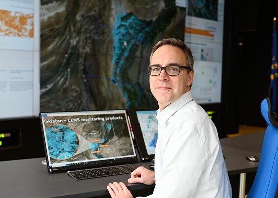
Experts like Peter Salamon, coordinator of the CEMS at the EU’s science service in Ispra, Italy, used models and satellite observations to provide maps. These maps helped experts like Nummela to see the location of the floods.
By tracking the floods in Pakistan – which covered thousands of square kilometres and made transport dangerous and difficult – Salamon helped keep workers on the ground safe and ensured they could find the best routes.
“Our flood maps showed whether flood waters were retreating in specific areas,” says Salamon.
CEMS also uses their information to anticipate where flooding might occur by tracking the water levels in rivers. This gives emergency workers time to prepare and be ready to respond fast.
We predict floods all around the world and monitor them in real time to help response and preparedness experts.
Preparing for the future
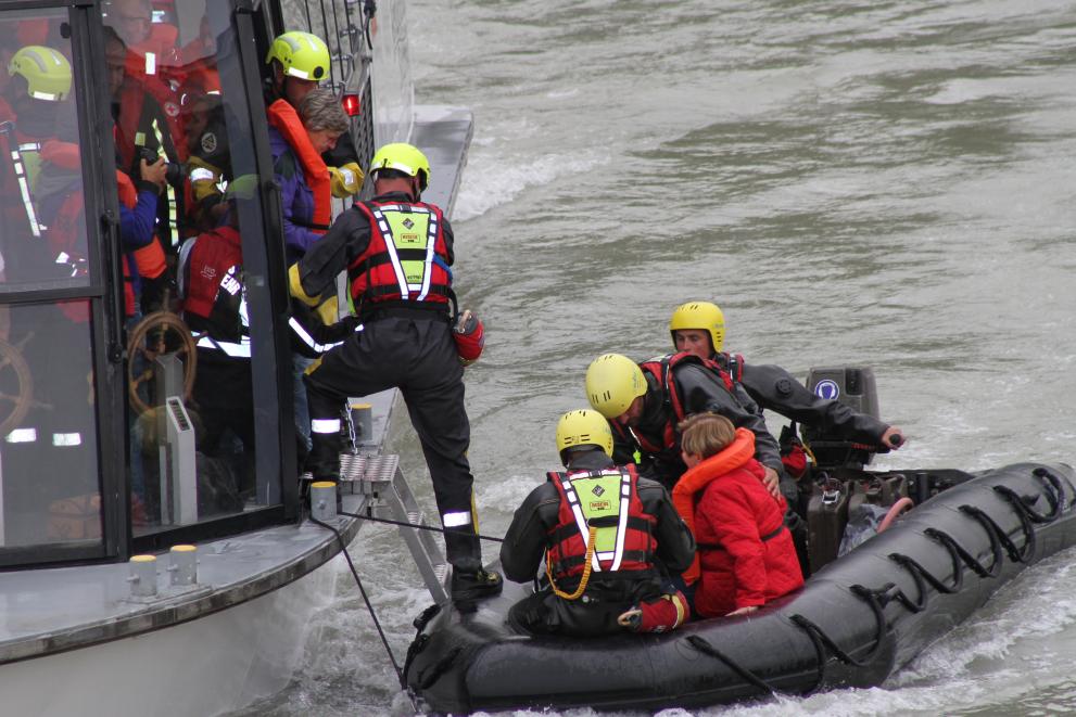
Due to climate change, we are experiencing dangerous and damaging floods on a scale never seen before.
Millions of people face an uncertain future. European countries are working together to anticipate and prepare for extreme weather events so they can alert people and respond quickly to secure the area affected when disaster strikes.
The EU Civil Protection Mechanism supports and complements the prevention and preparedness efforts of its Member States and participating countries. These include:
- risk assessments across the EU
- encouraging research to promote disaster resilience
- reinforcing early warning tools
- running large-scale exercises for specific disasters each year.
In 2022, a full-scale field exercise simulating parallel flooding in the Tisza and Danube rivers took place across Hungary, Slovakia, and Romania. These types of simulations help identify risks and prepare participants to respond.
Discover more stories
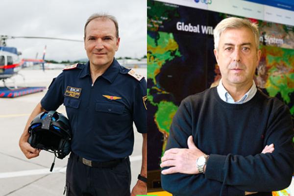
When fires broke out in Slovenia in July 2022, the EU’s Civil Protection Mechanism sprang into action. EU satellite mapping determined the progression and direction of the fires and Austrian helicopter pilot Josef Samonig used this to decide where to focus his firefighting efforts.
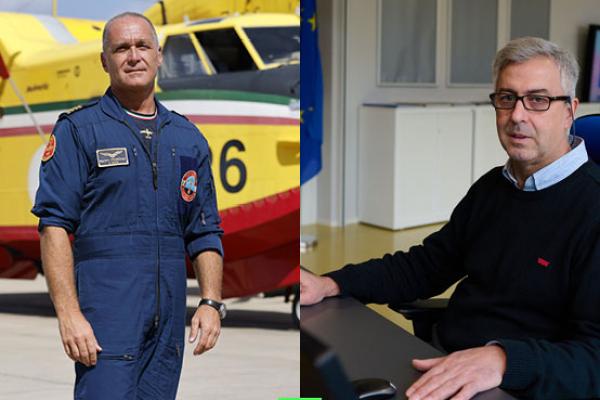
When wildfires broke out in Germany’s Harz National Park in September 2022, German authorities called on the EU’s Civil Protection Mechanism to help save the forest. Aided by EU’s satellite data, Italian pilot Martino Franchini flew in to help fight the blaze.
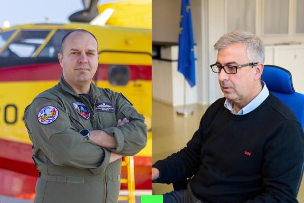
Thanks to monitoring and advanced warning from the European Forest Fire Information System, firefighting planes from Greece were prepositioned in Portugal and flew into action immediately.
